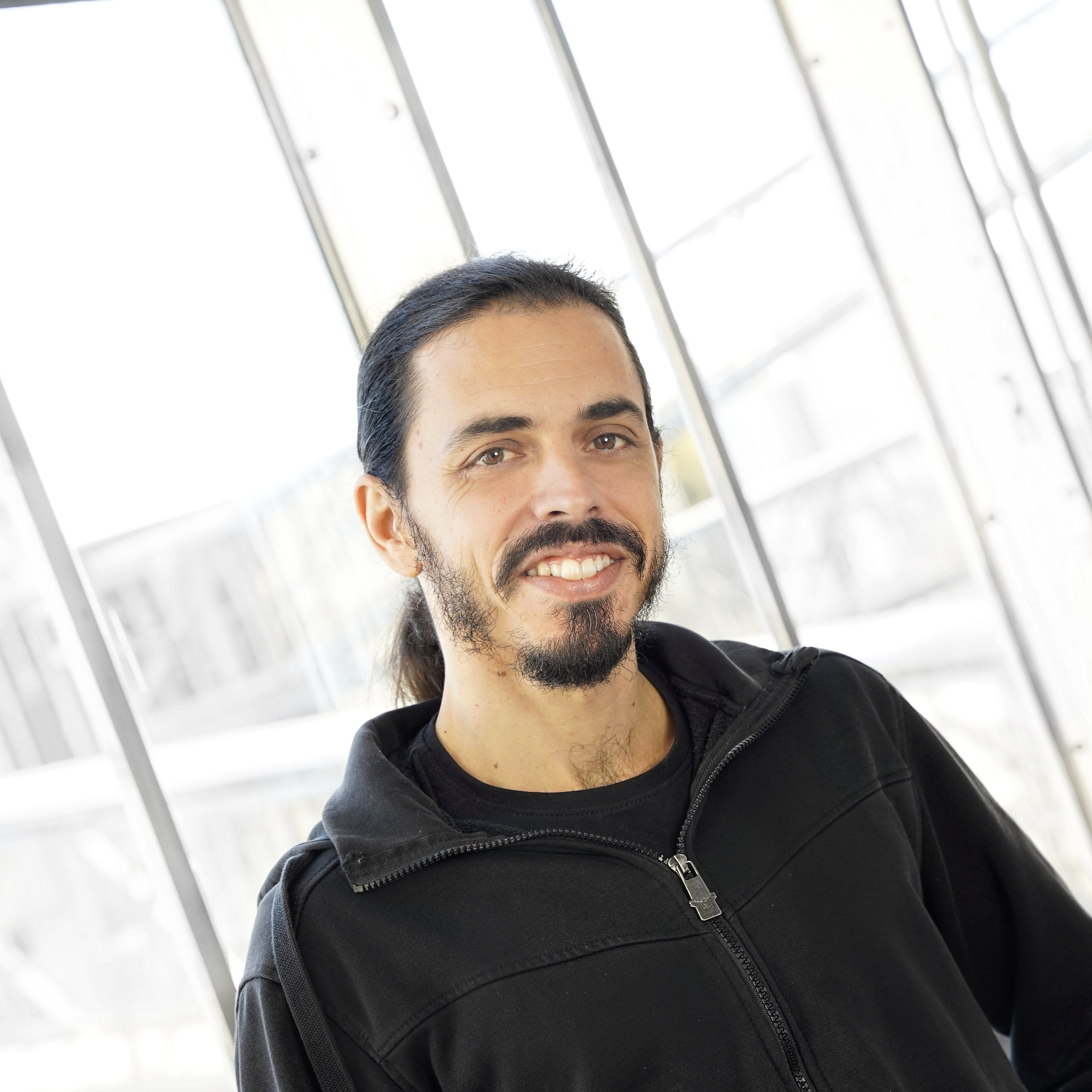
GIS Specialist & Spatial Analyst | ArcGIS Pro, QGIS, 3D GIS & GIS Automation
I am a GIS Specialist and Spatial Analyst with 5+ years of professional experience in spatial analysis, geodata processing, cartography, 3D GIS and environmental modelling. I work mainly with ArcGIS Pro and QGIS on environmental, infrastructure and spatial-planning projects. My work includes geoprocessing, data validation and QA, coordinate transformations, CAD-to-GIS workflows, 2D/3D map production and the integration of Dutch geodata from sources such as BAG, BGT, AHN, PDOK, CVGG and DSO. I also use Python and ArcPy in practice to automate repetitive GIS tasks and improve data-processing workflows. My focus is on practical GIS automation rather than software development. With an academic background in Geology and Geophysics, I am comfortable working with complex spatial datasets and translating technical project requirements into reliable GIS solutions. I particularly enjoy assignments involving spatial analysis, geodata preparation, cartography, 3D GIS, data QA and workflow optimisation.
Nog geen reviews. Heb je met Michalis samengewerkt? Deel je ervaring hieronder.
Laat je gegevens achter, dan brengen we je in contact.